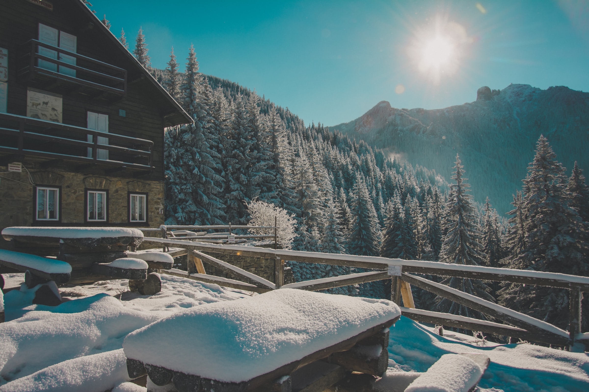
The Negoiu Peak is one of the most important mountains in the Romanian Carpathians. It has the second altitude from the mountains here, 2535 meters.
![]()
Difficulty: Medium / Hard
![]()
![]()
![]()
Time: 6-8 hours
![]()
![]()
![]()
Max. Altitude: 2535 meters, The Negoiu Peak
How to get here?
There are multiple treks to reach the Negoiu Peak. The most common way has the Porumbacu de Sus village (40 km from Sibiu) as the starting point. Another waypoint on the treck is the Negoiu Chalet, where it’s possible to sleep or eat.
The Porumbacu de Sus – Negoiu Cabin way is described here.
The easiest way to reach the Negoiu Peak (which is actually of medium difficulty)
If you think that the view from the Cabin is amazing, well, you must know that the best is yet to come.
To reach the Negoiu Peak, you would need to follow the path marked with a blue triangle. You will enter in a forest, but this won’t take much. Not far from the Cabin, you would need to cross a few bridges. They are safe, metallic, so there is no need to panic.
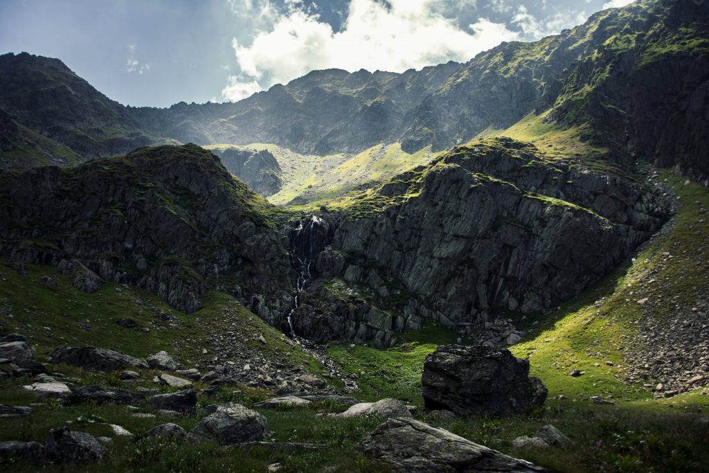
After half an hour far from the cabin, you will reach this gorgeous point. It is called The Saratii Waterfall and once upon a time, there was a glacier, which formed this area. Above the waterfall, the horizontal ridge is called Custura Saratii and it’s described below.
! This is the last water source you will have on your hike. Use it if it is needed.


Now the real fun begins.
Long story short: prepare yourself for a continue steep ascension through the rocks until you will reach the peak. 2 kilometres with 800 meters elevation. It will take almost 2 hours to get this done. It’s not technical, but it requires effort and patience.
The good part is that after 600 meters elevation after the waterfall, you will reach the first ridge in a place called Cleopatra’s Col. There is a cross of treks, and you need to turn left, following the Red Line mark (![]()
![]()
![]()
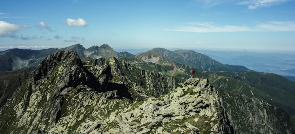


From there, you are just a few minutes away from the Negoiu Peak. To get there, you would need to scramble a little, but this won’t take long.
And there you are. On the second-highest mountain of the Romanian Carpathians. 2535 meters.
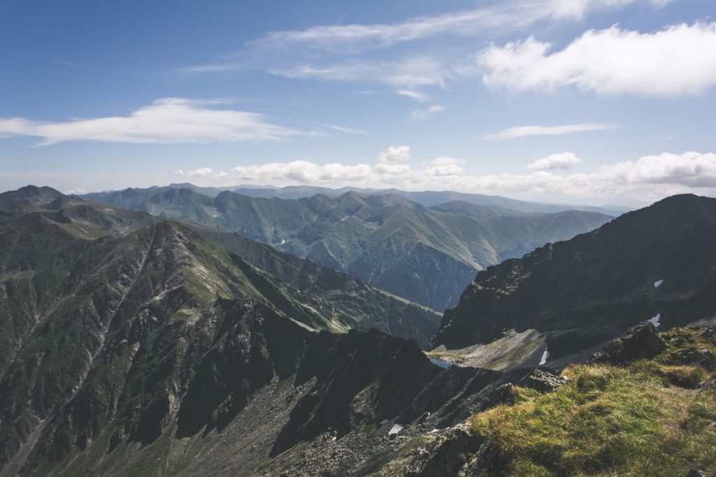


How to return to the Cabin
Now there are two options:
- To come back following the same path that you used for the ascension (1h30-2h)
- To enjoy scrambling on a ridge, to reach another peak, Serbota (2331 meters) and to have a not-so-steep return to the cabin (~3h30min)
If you choose the second option, here it is described.
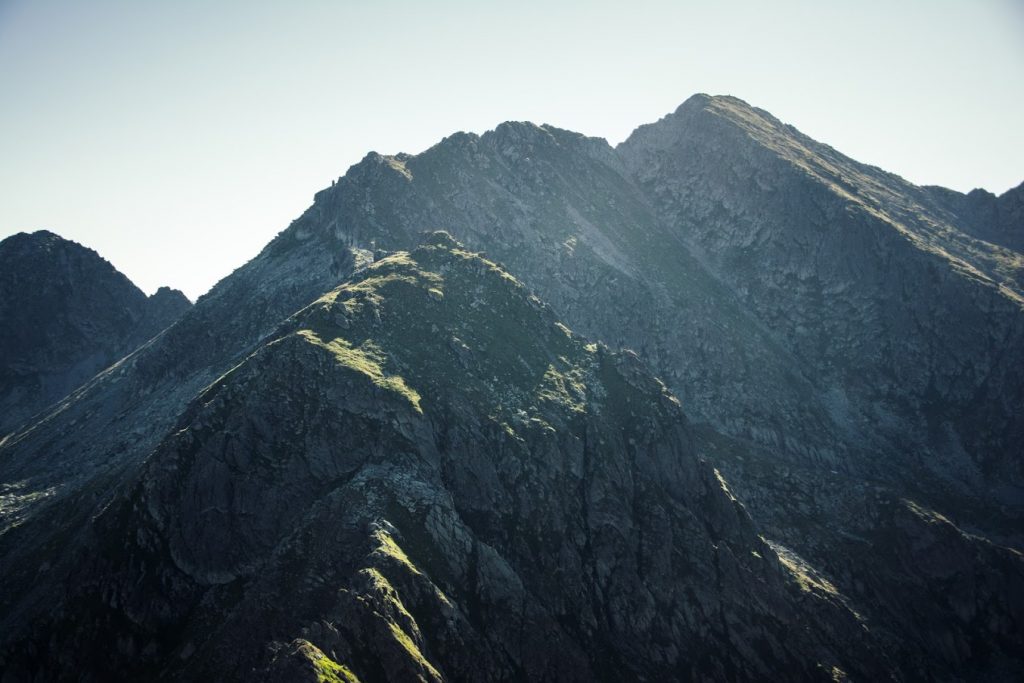
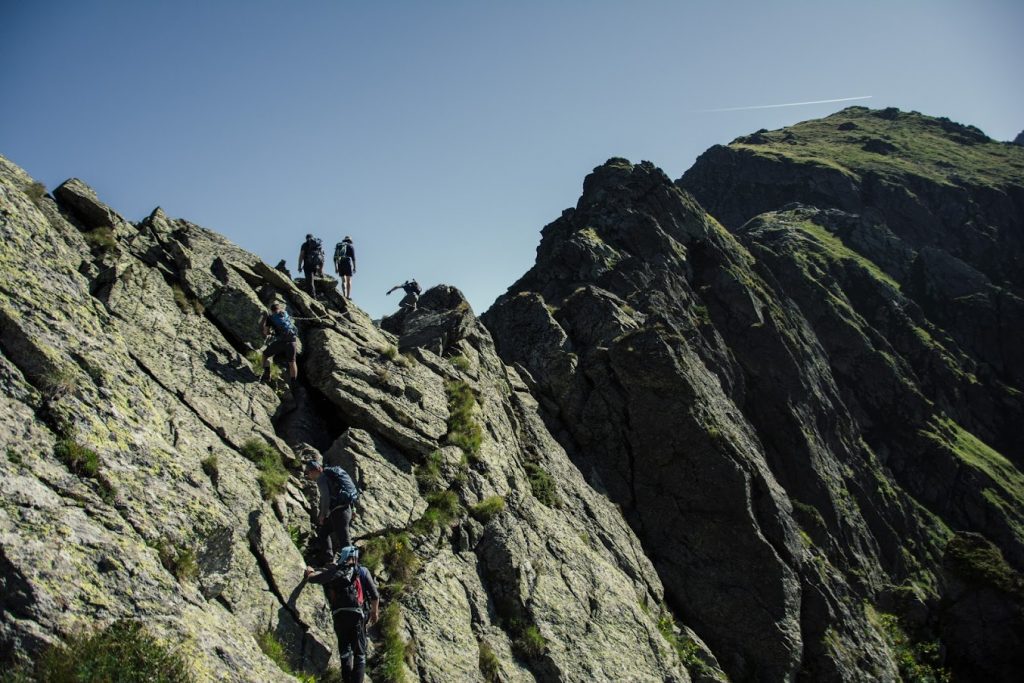
The ridge is called Custura Saratii, it is one of the most technical routes for hiking in The Romanian Carpathians. Yes, it is the horizontal ridge that you could saw above the waterfall mentioned above.
To get to it, you need to return using the same path until the first cross of treks. But instead of turning right and going downwards through the same way you had used for climbing, you will go straight forward.
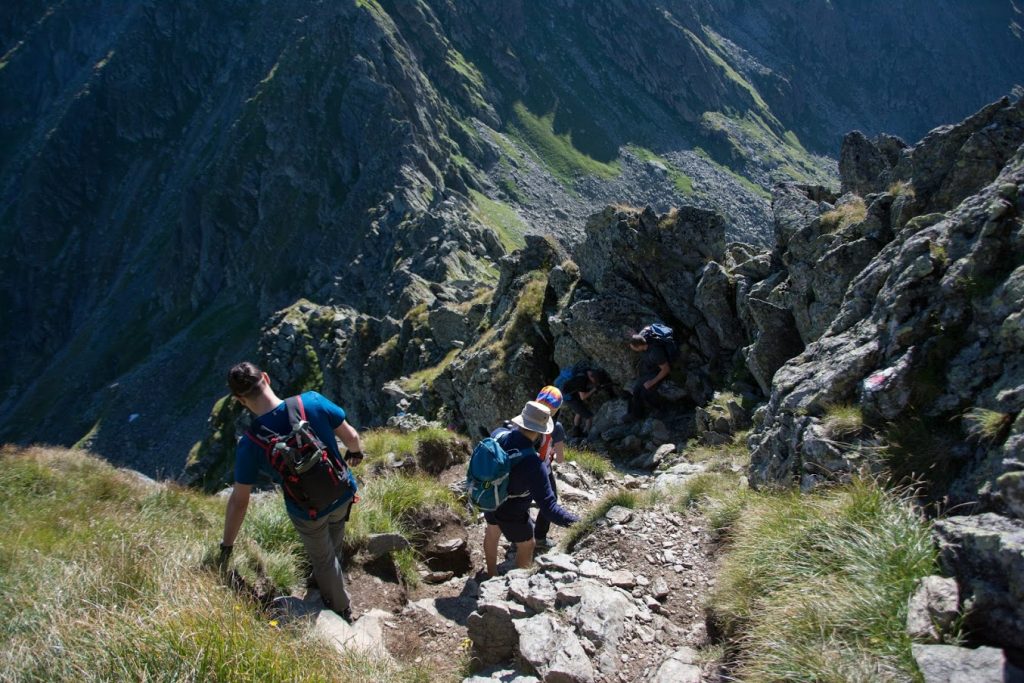
Then you should enjoy every step you take. Take care. And be patient.
Custura Saratii is equipped with safety chains and the rocks are stable.






![]()
![]()
![]()
Difficulty: Medium / Hard
![]()
![]()
![]()
Time: 6-8 hours
![]()
![]()
![]()
Max. Altitude: 2535 meters, The Negoiu Peak
The Negoiu Peak is one of the most important mountains in the Romanian Carpathians. It has the second altitude from the mountains here, 2535 meters.
How to get here?
There are multiple treks to reach the Negoiu Peak. The most common way has the Porumbacu de Sus village (40 km from Sibiu) as the starting point. Another waypoint on the treck is the Negoiu Chalet, where it’s possible to sleep or eat.
The Porumbacu de Sus – Negoiu Cabin way is described here.
The easiest way to reach the Negoiu Peak (which is actually of medium difficulty)
If you think that the view from the Cabin is amazing, well, you must know that the best is yet to come.
To reach the Negoiu Peak, you would need to follow the path marked with a blue triangle. You will enter in a forest, but this won’t take much. Not far from the Cabin, you would need to cross a few bridges. They are safe, metallic, so there is no need to panic.
After half an hour far from the cabin, you will reach this gorgeous point. It is called The Saratii Waterfall and once upon a time, there was a glacier, which formed this area. Above the waterfall, the horizontal ridge is called Custura Saratii and it’s described below.
! This is the last water source you will have on your hike. Use it if it is needed.
Now the real fun begins.
Long story short: prepare yourself for a continue steep ascension through the rocks until you will reach the peak. 2 kilometres with 800 meters elevation. It will take almost 2 hours to get this done. It’s not technical, but it requires effort and patience.
The good part is that after 600 meters elevation after the waterfall, you will reach the first ridge in a place called Cleopatra’s Col. There is a cross of treks, and you need to turn left, following the Red Line mark (![]()
![]()
![]()
From there, you are just a few minutes away from the Negoiu Peak. To get there, you would need to scramble a little, but this won’t take long.
And there you are. On the second-highest mountain of the Romanian Carpathians. 2535 meters.
How to return to the Cabin
Now there are two options:
- To come back following the same path that you used for the ascension (1h30-2h)
- To enjoy scrambling on a ridge, to reach another peak, Serbota (2331 meters) and to have a not-so-steep return to the cabin (~3h30min)
If you choose the second option, here it is described.
The ridge is called Custura Saratii, it is one of the most technical routes for hiking in The Romanian Carpathians. Yes, it is the horizontal ridge that you could saw above the waterfall mentioned above.
To get to it, you need to return using the same path until the first cross of treks. But instead of turning right and going downwards through the same way you had used for climbing, you will go straight forward.
Then you should enjoy every step you take. Take care. And be patient.
Custura Saratii is equipped with safety chains and the rocks are stable.
